Alertes en vigueurAmenia, ND
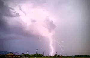
Safety message - Turn around, don't drown. Don't travel throughflooded areas. Most flood deaths occur in vehicles.Motorists should not attempt to drive around barricades or drivecars through flooded areas.Additional information is available at www.weather.gov.
...The Flood Warning continues for the following rivers in NorthDakota...Minnesota...Red River of the North at Fargo affecting Cass and Clay Counties.For the Red River...including Fargo...Minor flooding is forecast.* WHAT...Minor flooding is occurring and minor flooding is forecast.* WHERE...Red River of the North at Fargo.* WHEN...Until further notice.* IMPACTS...At 19.0 feet, Low-level dam south of Main Ave is closed(Fargo).* ADDITIONAL DETAILS...- At 9:15 PM CDT Sunday the stage was 18.0 feet.- Recent Activity...The maximum river stage in the 24 hoursending at 9:15 PM CDT Sunday was 18.0 feet.- Forecast...The river is expected to rise to a crest of 20.0feet Friday evening.- Flood stage is 18.0 feet.